Description
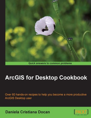
About This Book
- Learn how to use ArcGIS Desktop to create, edit, manage, display, analyze, and share geographic data
- Use common geo-processing tools to select and extract features
- A guide with example-based recipes to help you get a better and clearer understanding of ArcGIS Desktop
Who This Book Is For
This book is a good companion to get you quickly acquainted with everything you need to increase your productivity with the ArcGIS Desktop.
It would be helpful to have a bit of familiarity with basic GIS concepts.
If you have no previous experience with ArcGIS, this book will still be helpful for you because it will help you catch up to the acquainted users from a practical point of view.
What You Will Learn
- Design your geodatabase schema
- Edit geometry and attributes of the features in a geodatabase
- Get accustomed to working with Coordinate Reference System (CRS)
- Create custom symbols and labels for a better-looking map
- Use geocode addresses and learn how to work with routes and events
- Perform spatial analyses with the Spatial Analyst extension
- Design a 3D representation of data with the 3D Analyst extension
- Use the Data Interoperability tools to import and export your data


Reviews
There are no reviews yet.